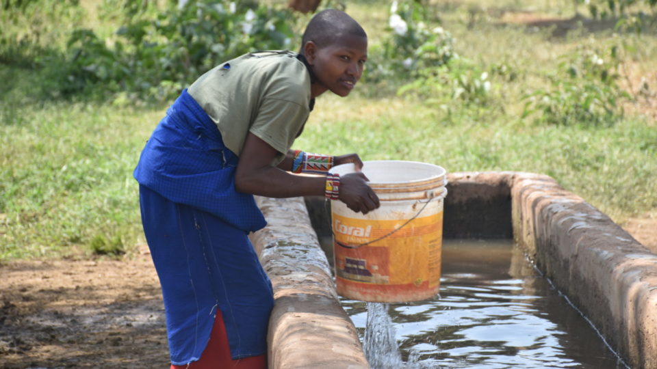
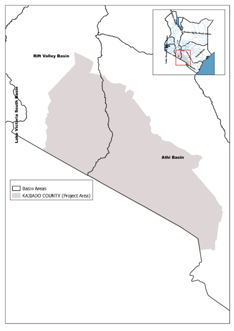
Kajiado County covers parts of Athi and Rift Valley basins within the southwestern region of Kenya. The region is predominantly characterised by extremes and variations in hydro-meteorological conditions, making it difficult for decision making with regards to catchment management and enhanced livelihood sustainability.
Currently, the County’s data on water falls short of the fundamental goal of being complete, accessible and usable. To contribute efforts to address this challenge, Wetlands International has received support from the United States Agency for International Development (USAID), SERVIR and the Regional Centre of Mapping Resource for Development (RCMRD) to implement a project on the ‘Application of geo-data in water resources management in Kajiado County.’
Opportunity
Through this project, various geographical data products will be generated to support decision making in water resources management, reduce ecosystem stress and community vulnerability to weather and climate change variations. This will be achieved through the following focus areas:
- Strengthening stakeholder capacity on technical and institutional aspects for improved decision support;
- Improving information dissemination to the public on aspects of basin management with regards to hydro-meteorological extremes and coping mechanisms to environmental risks and hazards; and
- Influencing private sector investment opportunities based on their contribution towards ecosystem management and restoration as well as stakeholder empowerment for enhanced sustainable livelihood patterns.
A participatory approach involving stakeholders in the County and the larger basin will be used with the implementation period starting April to end December 2019.